
Ylenia is followed by Zeynep
Two gale-force lows generate a lot of wind energy in Germany
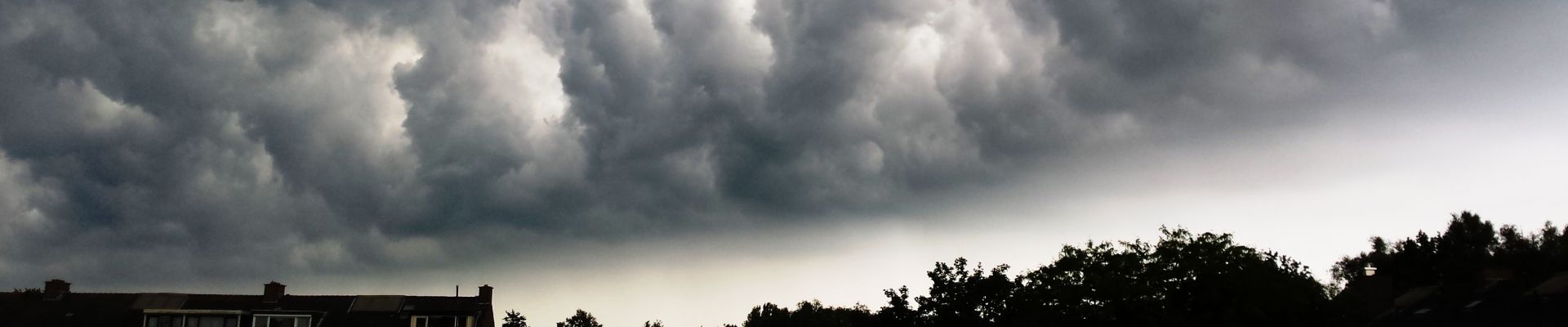
From Wednesday to Thursday, the low-pressure system Ylenia had moved from Scotland across the North Sea and southern Scandinavia to the Baltic States. On its southern flank and especially in connection with a cold front of the depression, severe squalls (Bft 10) and gale-force winds (Bft 11) could be registered in many parts of Germany. At sea and on the mountains, there were even hurricane-force winds (Bft 12).
This resulted in a very high feed-in to the German power grid of up to 46 GW of wind energy on Thursday morning. For self-protection, wind turbines shut down at high wind speeds, causing wind power production in Germany to temporarily drop by several gigawatts during the strongest gusts.
Following Ylenia, the next hurricane depression, Zeynep, moves from the United Kingdom to the Baltic States on Friday and Saturday. On Friday evening and Saturday night, severe gusts (Bft 10) and gale-force winds (Bft 11) are expected in some areas in the area of the cold front of the low pressure system. In addition, the north of Germany will be hit by a strong storm field, which will increase the wind speeds in gusts to Bft 10 to Bft 11 in many areas. In the immediate coastal environment, repeated gale-force winds (Bft 12) are likely, and on the North Sea, severe gale-force winds of around 150 kilometers per hour.
Due to the high number of wind turbines in the area of the main storm field of the depression, high wind production levels are expected as well as noticeable storm shutdowns.
energy & meteo systems analyzed the storms at an early stage and prepared its customers (grid operators, aggregators and power traders) in advance for their impact on wind energy production.